Screenshots (iPhone)
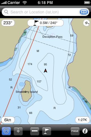
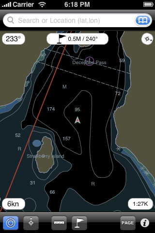
"Day" and "Night" chart view.
Ability to lock "North up" or "Track up".
Measure distances using the "Ruler" tool.
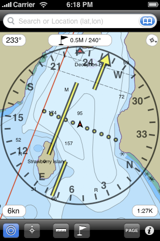
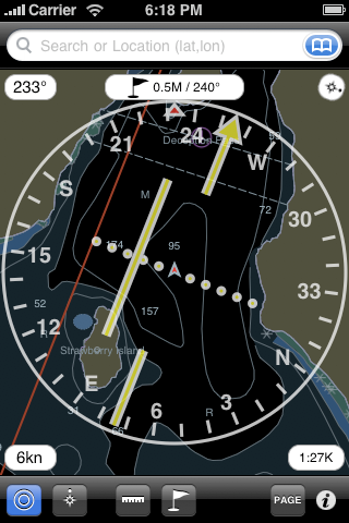
Navigate to waypoints using a Horizontal Situation Indicator (HSI).
This instrument is usually found in aircraft and graphically helps you stay on your course.
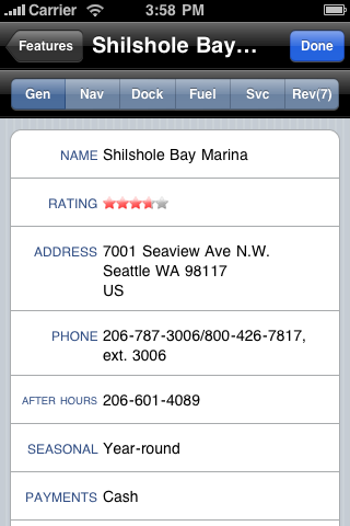
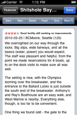
Display of ActiveCaptain information about Shilshole Bay Marina.
All information that can be found at the activecaptain.com website is available.
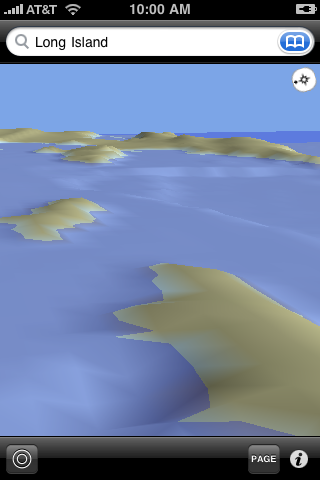
3D Bathymetry
[Please note: there is no bathymetry for the Great Lakes region or the combined US & Canada charts.]
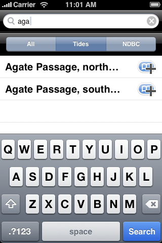
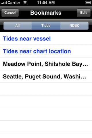
Search for features, tides/currents, weather stations by name or near your vessel or chart location.
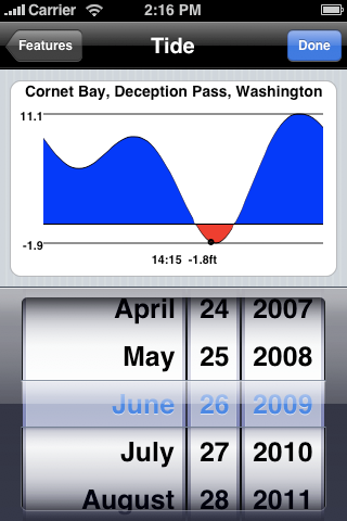
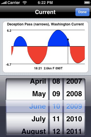
Tide/current graphs for any date.
Drag your finger on the graph view to see the tide/current level for a particular time.
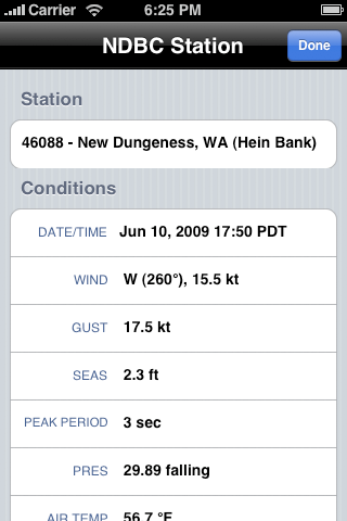
Find current weather conditions.
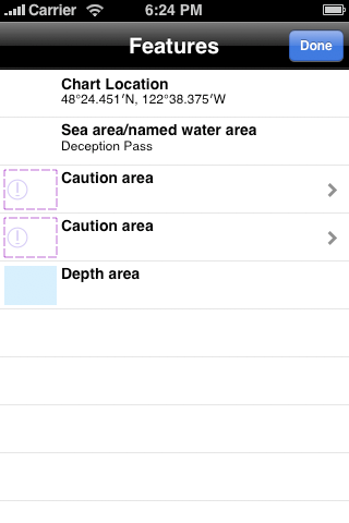
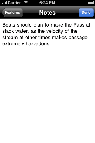
Tap the chart to get feature information including NOAA notes.
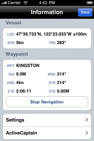
Information screen shows current location/speed/track and distance/bearing to waypoint.
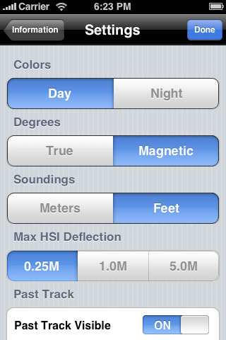
Settings screen allows to personalize how Charts&Tides works.
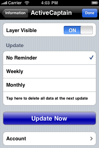
This is where you perform ActiveCaptain updates.
Enter your ActiveCaptain credentials under "Account". Then tap on the "Update Now" button.
The first update is large and can take a long time to complete. Subsequent updates should be much faster.