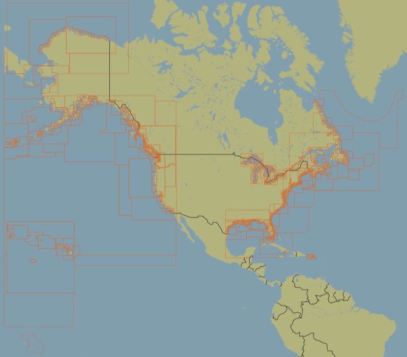
2016 US & Canada Marine Vector Chart
Contains coverage of US & Canadian waters.
Includes all NOAA ENC charts. Also includes thousands of tide and current stations.
Includes ENC charts from the following Canadian Hydrographic Service (CHS) regions:
US waters
Includes all NOAA ENC charts. Also includes thousands of tide and current stations.
Canadian waters
Includes ENC charts from the following Canadian Hydrographic Service (CHS) regions:
- ATL-A
- ATL-B
- ATL-C
- CEN-A
- CEN-B
- CEN-C
- PAC-A
- PAC-B